University of Saskatchewan researchers have developed an approach to help flood managers assess the feasibility of three ways to mitigate ice-jam flooding—dredging river sediment at jam-prone sites, artificially breaking up ice using amphibious excavators, and building dikes.
The city of Fort McMurray, Alberta, which has a lengthy history of flooding, is among communities adjacent to northern rivers across Canada that regularly confront the expensive problem caused by ice jams during spring ice breakup, or even at freeze-up or mid-winter breakup.
The research findings are based on a sophisticated computer modelling framework of Fort McMurray that evaluated how multiple fluctuating factors such as water flow, ice thickness and backwater levels affected ice jams and flooding.
Lead USask researcher Karl-Erich Lindenschmidt says the principles apply to ice-jam floods everywhere, from the Red River in Manitoba to the Churchill River in Labrador to the Saint John River in New Brunswick.
Lindenschmidt says he developed the first real-time method for ice-jam flood forecasting, which he says is a lot more difficult than just open-water flooding.
Lindenschmidt is part of a modelling team with the USask-led Global Water Futures (GWF) program which aims to protect and inform communities of the risks associated with seasonal flooding.
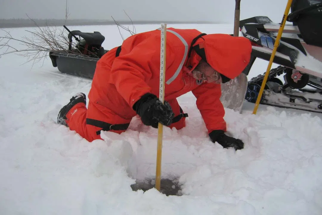
*Photo: Lead USask researcher Karl-Erich Lindenschmidt carrying out an ice survey on the Slave River, NWT. (Photo submitted by Karl-Erich Lindenschmidt)


