


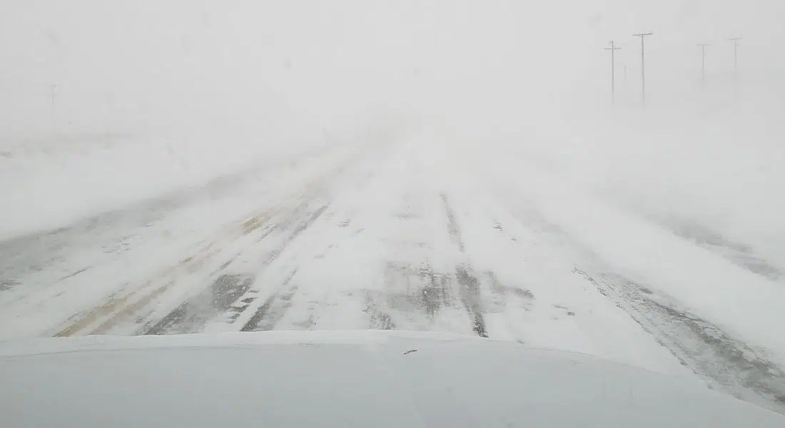
Travel is not recommended on highways surrounding the Saskatoon, Moose Jaw, Meadow Lake, Rosthern, Findlater, Kenaston, Lumsden, Milestone and Swift Current areas due to low visibility, and drifting and swirling snow.
There is a winter storm warning in effect for the bottom two thirds of the province, blanketing everywhere from Peter Pond Lake south.
Environment Canada expects the storm to bring heavy, blowing snow, and low visibility east across Saskatchewan throughout the weekend.
Snowfalls of 25-40 cm are expected throughout the area, as well as winds gusting to 60 or 70km/h. It’s all caused by a low-pressure system from Montana.
Environment Canada warns that visibility will be suddenly reduced to near zero at times in heavy snow and blowing snow. They recommend putting travel plans on hold until conditions improve. Snow and blowing snow will continue through Monday, and possibly wrap up by Tuesday. Click here to know the roads before you go.
In Saskatoon, City of Saskatoon crews are preparing for the weather event. Today is forecasted to see 5-10 cm of snow and blowing snow beginning late this morning. Winds are gusting to 50km/h today, temperatures won’t fall much below -20 for the duration of the storm, however windchill values are sitting in the low 30s.
Goran Sarich, Director of Roadways, says the snow will be plowed on a priority system. Priority 1 streets such as Circle Drive, Idylwyld, College Drive, and 22nd Street will be tended to within 12 hours after the snowfall ends. Within 36 hours, Priority 2 streets like Clarence Avenue, McKercher Drive and Millar Avenue will be plowed, and within 72 hours Priority 3 streets such as Louise Avenue and Main Street will be taken care of.
If you had plans to fly today or tomorrow, you will want to check departures and arrivals at the Saskatoon John G. Diefenbaker International Airport where many flights are delayed or cancelled.
Power outages could crop up throughout the weekend, and the SaskPower outage map will update them as they appear.