


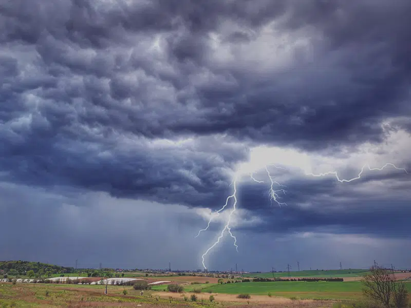
Environment Canada meteorologist Terri Lang says the sleep interrupting thunderstorm that rumbled into the Saskatoon area early Friday morning seemed quite severe because it had more lightning than a lot of storms do.
“So, it seemed quite severe just because there was a lot of lightning with it but if you look around, we didn’t have any reports of big hail, we got some rain, we didn’t have any reports of wind damage or anything like that so it would not classify as severe.”
With a general thunderstorm with every cloud-to-ground lightning strike there is usually three or four cloud-to-cloud lightning strikes. But Lang says in a storm like Friday morning there can be upward of 20 cloud-to-cloud lightning strikes compared to just one cloud-to-ground lightning strike. She says there were over 7,000 lightning strikes around the City of Saskatoon. There was a peak wind gust of 88 kilometres an hour at the Nav-Canada site at the airport.
“I’m surprised we didn’t get more reports of hail from Martensville, Osler, Warman, places like that.”
She says the variation in rainfall amounts was actually because two systems moved through. Rainfall reports indicate between five and 19 millimetres of rain fell depending on where you were in the city.
She says the storm marked the end of the heatwave, other than the southeast corner of the province Friday, and now what Saskatchewan will experience is the regular heat of summer.