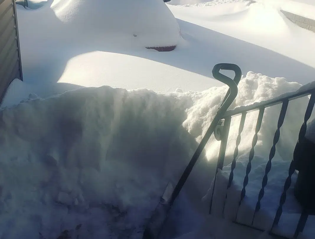
Environment Canada says Moose Jaw received anywhere from 30 to 40 centimetres of wet, heavy snow while Swift Current appears to have gotten 20 to 30 centimetres.
Meteorologist Terri Lang says in between there, areas may have received even more snow.
Lang says 15 to 25 millimetres of precipitation melted down so it’s a good snowfall for dry areas of the province which have been thirsting for moisture.
“Cause often in the winter we get that really dry snow and you can get 10 centimetres of snow and it comes out less than a millimetre of water equivalent, so this is a good, juicy snow.”
There are still road closures and travel not recommended in many areas of southern Saskatchewan. All along the eastern side of Saskatchewan winter storm and snowfall warnings are in place.
For the Yorkton-Melville area freezing rain developed this morning and that is transitioning to heavy snow this afternoon with 10 to 20 centimetres expected. For the Kamsack-Canora-Preeceville areas strong northerly winds are also expected to accompany the falling snow and area residents can expect visibilities to be reduced while travelling in heavy, falling snow.


