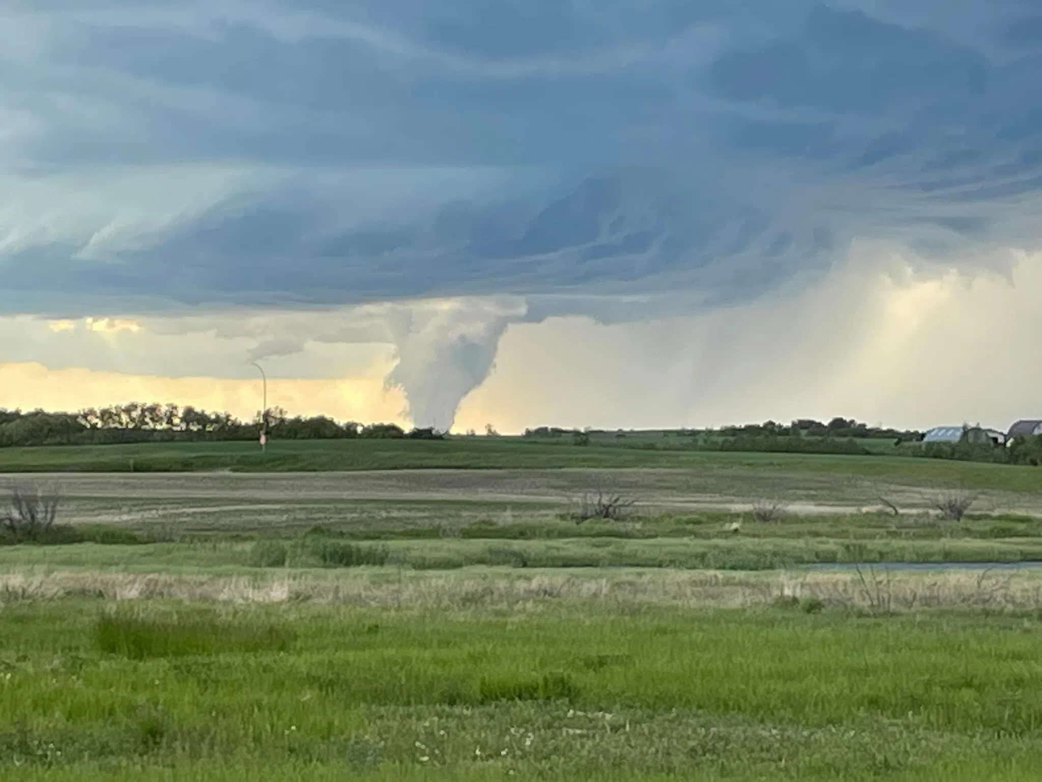
Tornado warnings are moving through Saskatchewan with much of the southern half of the province under a multitude of watches and warnings both tornado and for severe thunderstorms. For the latest weather impacting your area go to weather.gc.ca.
Posts to Facebook page ‘Saskatchewan Severe Weather Tracker’ has multiple reports of a funnel cloud at Warman and at Aberdeen, plus there are photos of a tornado in the RM of Bayne as well as reports of hail, for instance, pea sized hail at Langham, and golf ball size hail at Mayfield.
As severe weather rolled through Saskatchewan Sunday the City of Saskatoon activated the Emergency Operations Centre after a tornado watch was issued. Saskatoon came out of the storms relatively unscathed.
Environment Canada also says if you hear a roaring sound or see a funnel cloud, swirling debris near the ground, flying debris, or any threatening weather approaching, take shelter immediately. They advise to go indoors to a room on the lowest floor, away from outside walls and windows, such as a basement, bathroom, stairwell or interior closet. Leave mobile homes, vehicles, tents, trailers and move to a strong building if you can. As a last resort, lie in a low spot and protect your head from flying debris.
Environment Canada says a low-pressure system will interact with an unstable airmass Sunday afternoon resulting in the development of severe thunderstorms. The tornado threat will gradually diminish after sunset and as the storms track into eastern Saskatchewan and into Manitoba tonight.


